
DGPS (Differential Global Positioning System) Surveying provides sub-meter and even centimeter-level accuracy — essential for infrastructure, land planning, and utility mapping. At Ahmad Land Surveying, we use cutting-edge DGPS receivers and correctional signals to eliminate errors caused by atmospheric conditions and satellite drift.
Whether it’s cadastral mapping, road alignment, or large-scale development planning, our DGPS services ensure the geographic precision required to guide your project with confidence.
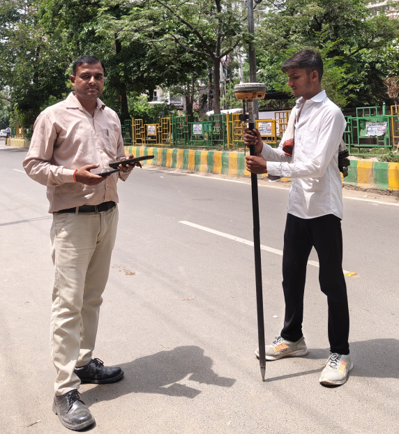

With Ahmad Land Surveying, you can depend on DGPS technology for accurate, reliable, and efficient land data collection. From planning to execution, our surveys deliver the geographic precision modern projects demand.
Copyright 2025 – All Rights Reserved By Ahmad Land Surveying