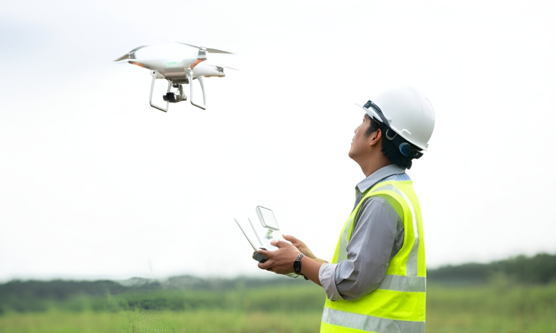
At Ahmad Land Surveying, we harness the power of UAV (Unmanned Aerial Vehicle) technology to capture high-resolution imagery and detailed aerial data for a wide range of surveying needs. Drone (Aerial) Surveying dramatically reduces time and manpower while delivering precise, bird’s-eye insights of your site — even in hard-to-reach areas.
Our licensed drone operators and GIS experts ensure each flight mission is executed with technical precision and accuracy, enabling us to provide topographic maps, 3D terrain models, orthomosaics, and volumetric analysis with exceptional speed and clarity.


Drone surveying is transforming how we map and measure the land. With Ahmad Land Surveying, you gain a partner who combines aerial innovation with on-ground expertise — delivering accurate, safe, and efficient survey data to support your next big project.
Copyright 2025 – All Rights Reserved By Ahmad Land Surveying